White Mountains Trail Map (2025)
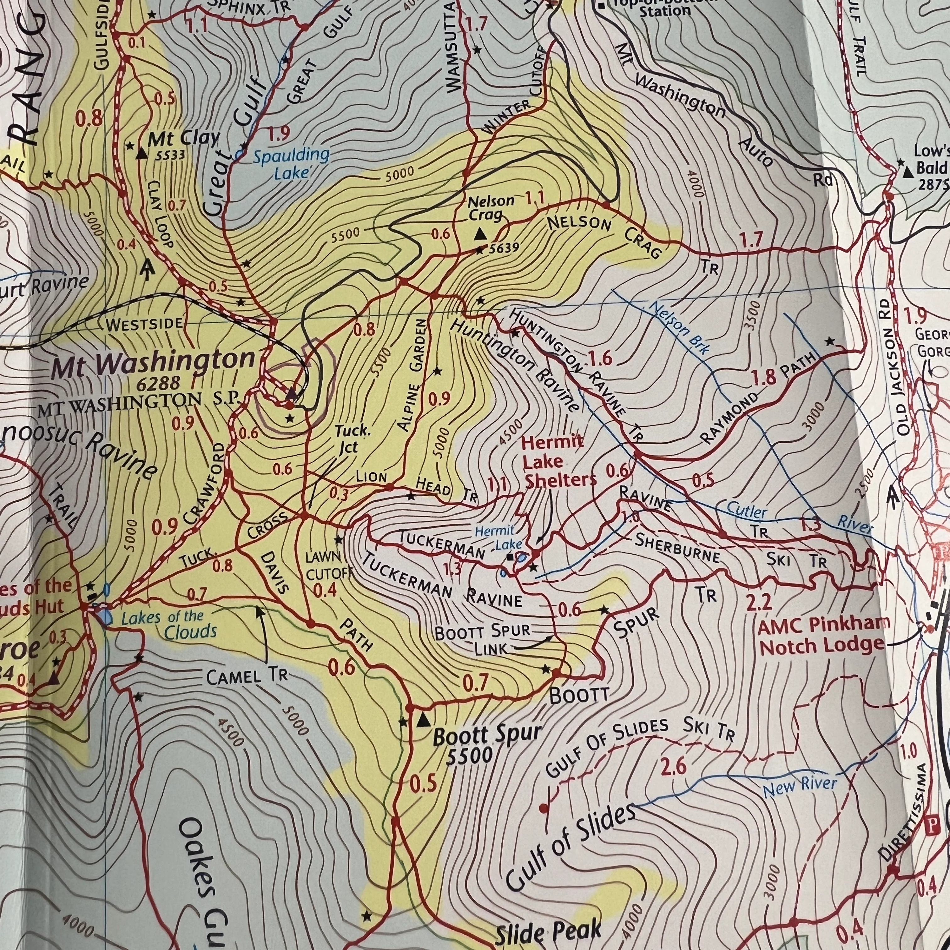
I've been using this trail map for years because it's feature-rich with all the trails you need in the Whites and more. It's perfect for exploring new routes and thanks to the waterproof material, it will last many years of regular use.
###
Map Features
- White Mountains National Forest
- The Four Thousand Footers
- Appalachian Trail
- Mileage between points
- Camping, huts, and lean-to's
- Parking
- Winter Trails
- Kezar Lake, Maine
Areas Covered
- Mount Washington
- Pinkham Notch
- Carter-Moriah Range
- Franconia Notch
- Twin Range
- Zealand Valley
- Crawford Notch
- Pilot & Pliny Ranges
- Kancamagus Highway
Topographic Map: Waterproof | 36" x 24" unfolded | ISBN 1890060-23-2 | scale 1:75 000 and 1:50 000 | Map Adventures LLC
Original: $11.95
-65%$11.95
$4.18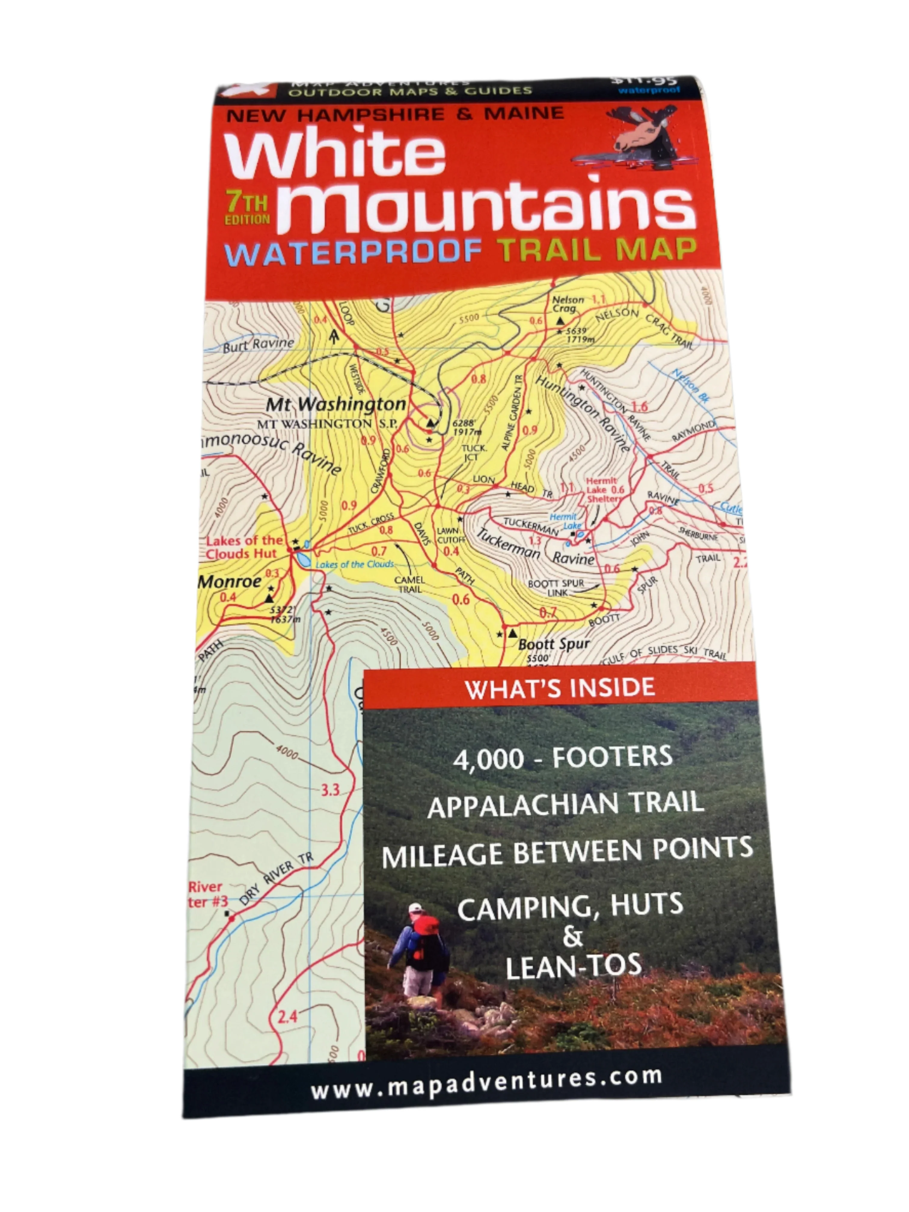
Description
I've been using this trail map for years because it's feature-rich with all the trails you need in the Whites and more. It's perfect for exploring new routes and thanks to the waterproof material, it will last many years of regular use.
###
Map Features
- White Mountains National Forest
- The Four Thousand Footers
- Appalachian Trail
- Mileage between points
- Camping, huts, and lean-to's
- Parking
- Winter Trails
- Kezar Lake, Maine
Areas Covered
- Mount Washington
- Pinkham Notch
- Carter-Moriah Range
- Franconia Notch
- Twin Range
- Zealand Valley
- Crawford Notch
- Pilot & Pliny Ranges
- Kancamagus Highway
Topographic Map: Waterproof | 36" x 24" unfolded | ISBN 1890060-23-2 | scale 1:75 000 and 1:50 000 | Map Adventures LLC